
Camping municipal de Porstevigné, Kergador, France
Basic Info
Distance from the campground to Kergador: 1.19 mi
Accommodation Types
Tent allowed
RV allowed

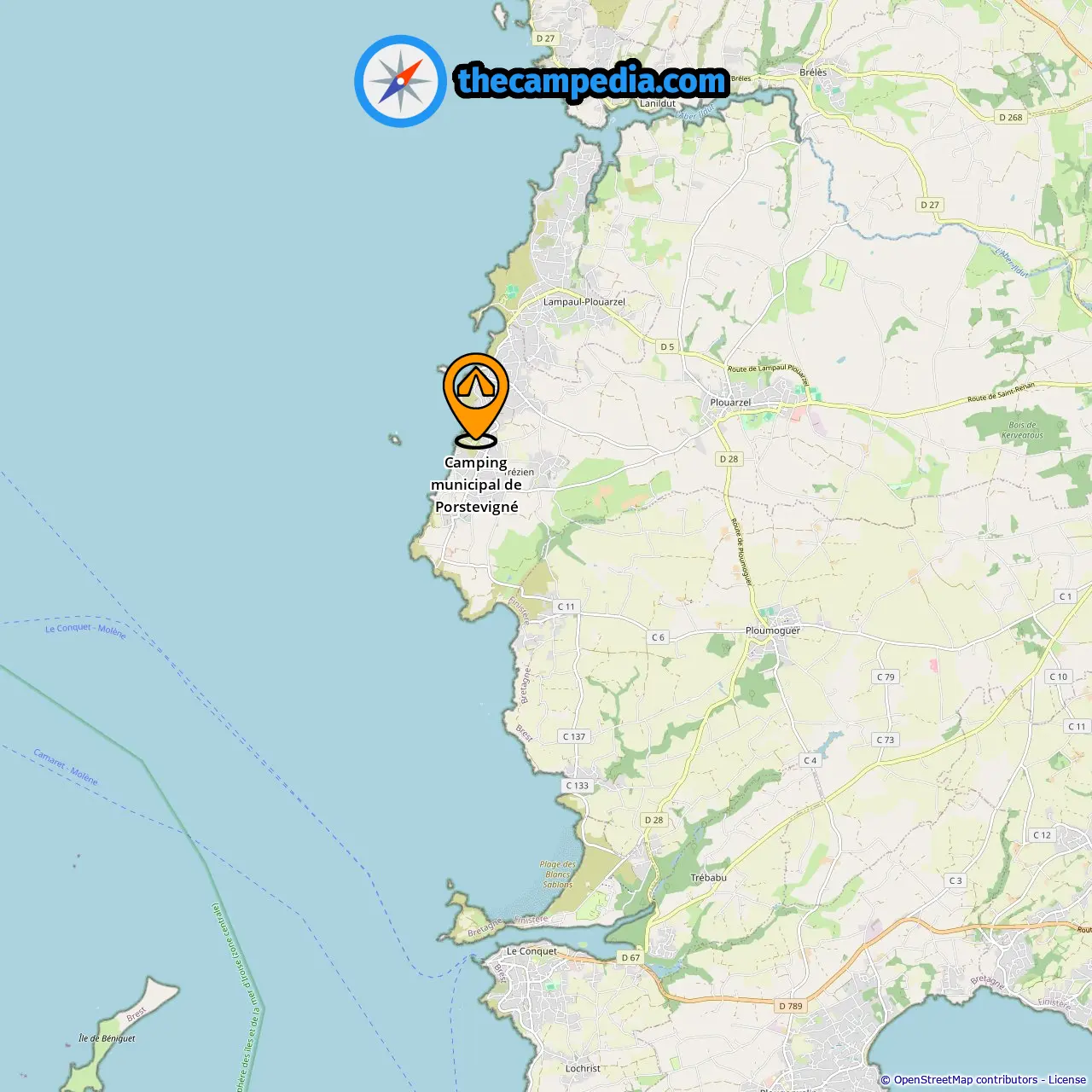
Downloadable Map 1 » Camping municipal de Porstevigné
Location of Camping municipal de Porstevigné
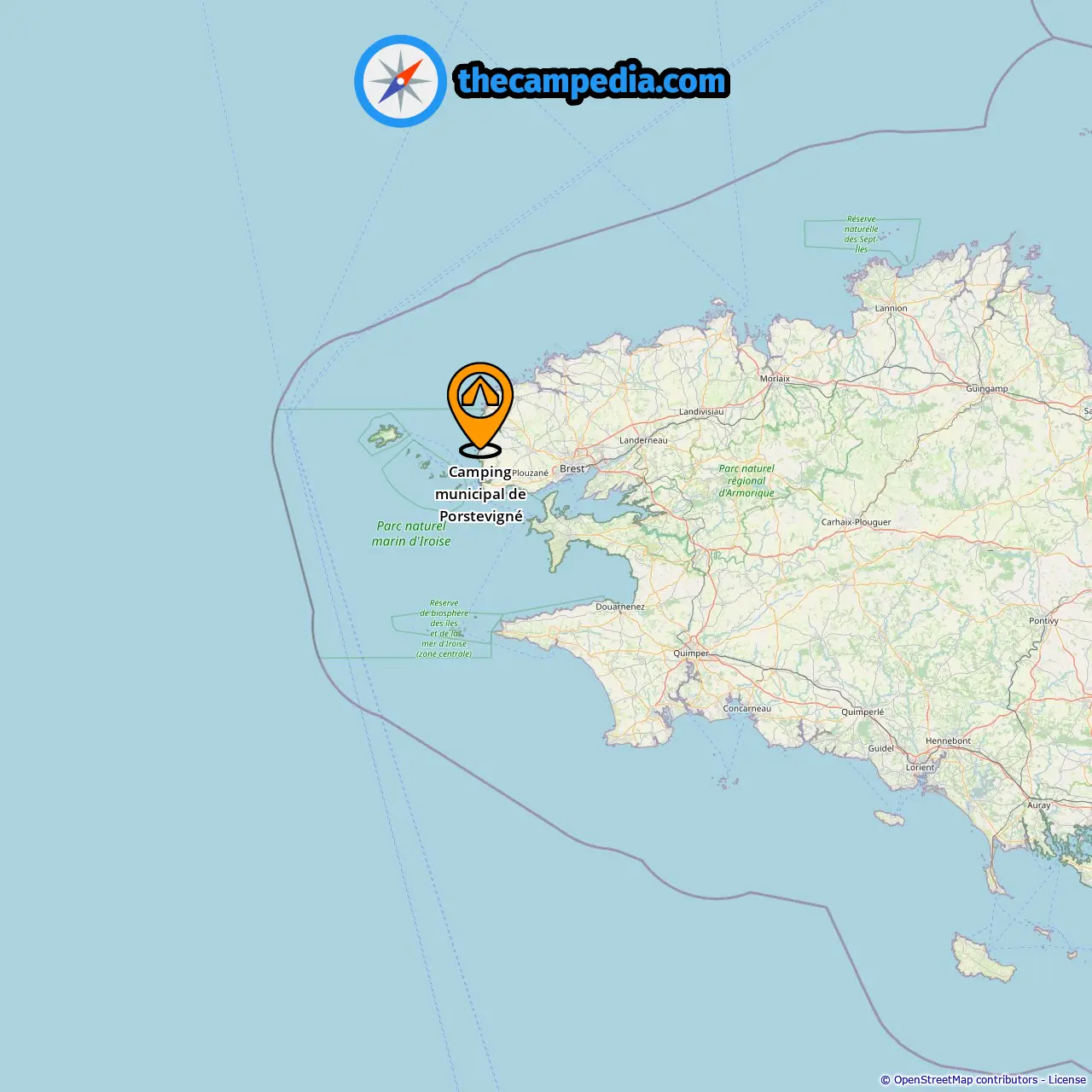
Downloadable Map 2 » Camping municipal de Porstevigné
Location of Camping municipal de Porstevigné
More campgrounds in Kergador
Find campgrounds in these cities near Kergador
Campgrounds in Ruscumunoc (0.76 mi from Kergador)
Campgrounds in Keriével (2.42 mi from Kergador)
Campgrounds in Porspaul (2.65 mi from Kergador)
Campgrounds in Plouarzel (2.49 mi from Kergador)
Campgrounds in Ploumoguer (3.5 mi from Kergador)
Campgrounds in Lanildut (7.84 mi from Kergador)
Campgrounds in Kerdrévor (8.47 mi from Kergador)
Campgrounds in Le Conquet (6.64 mi from Kergador)
Campgrounds in Le Trez Hir (8.17 mi from Kergador)
Campgrounds in Plougonvelin (8.21 mi from Kergador)
Campgrounds in Porspoder (11.35 mi from Kergador)
Campgrounds in Keruzas (8.41 mi from Kergador)
Campgrounds in Radénoc (11.87 mi from Kergador)
Campgrounds in Locmaria-Plouzané (8.92 mi from Kergador)
Campgrounds in Argenton (11.34 mi from Kergador)